Re: BGS - The BackgroundSet
Posted: Thu Mar 03, 2022 7:03 pm
For information and discussion about Oolite.
https://bb.oolite.space/
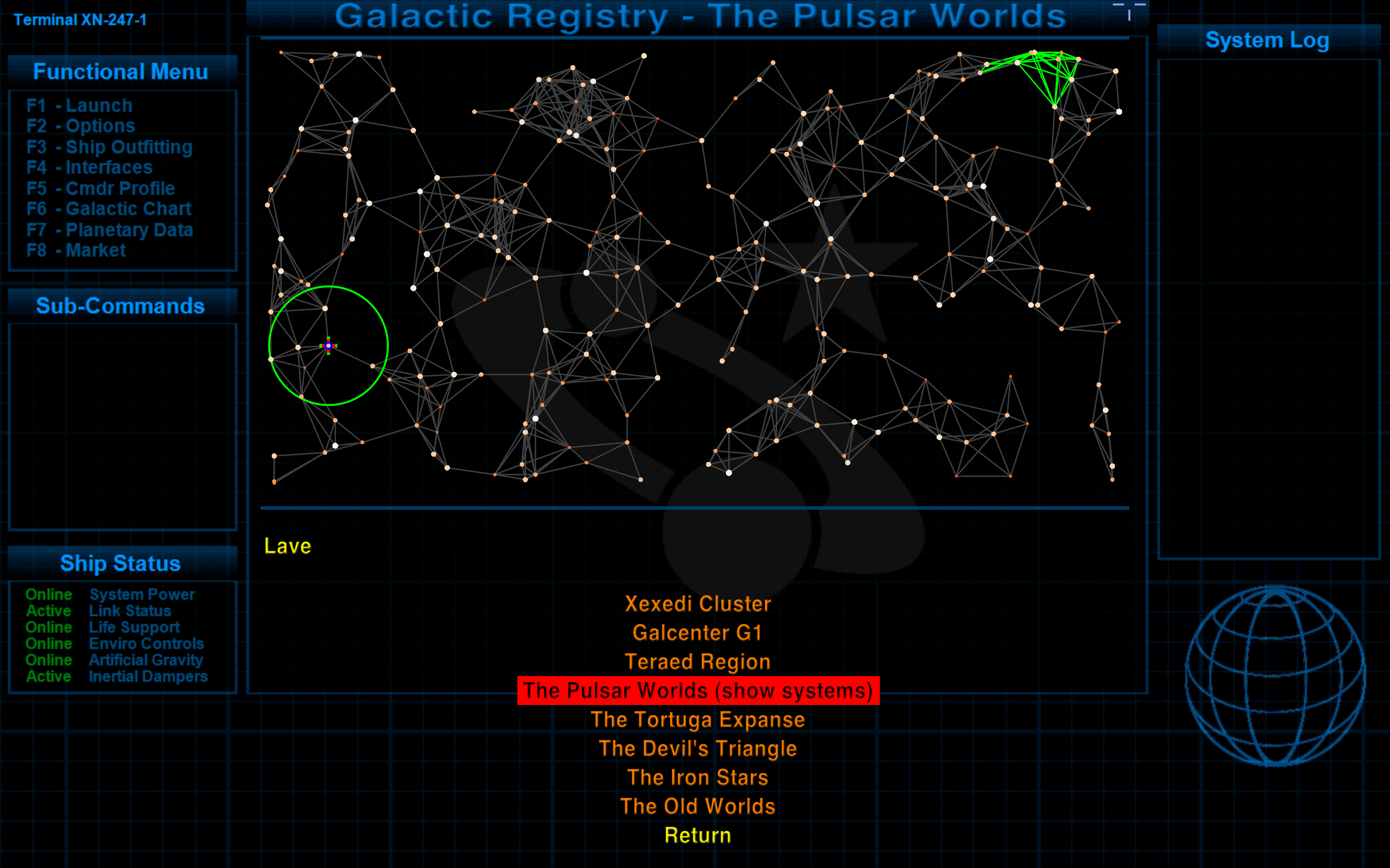
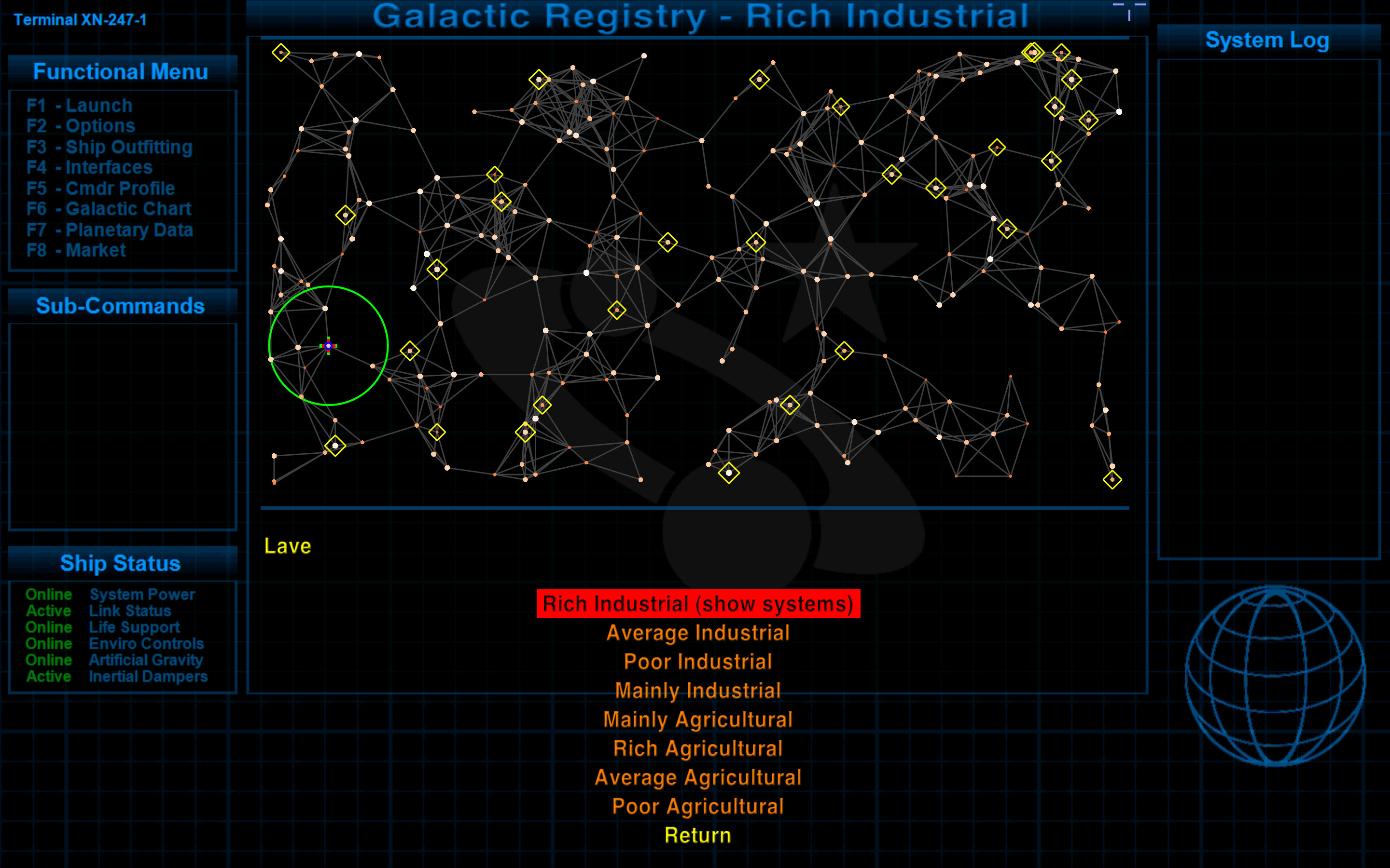
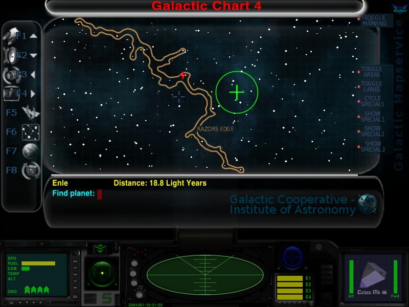
Back to pondering over this one.BGS-XMapping is a additional module for BGS (not available yet, but the support for it is already in BGS-A and BGS-M). It displays the named regions and spacelanes from ClymAngus maps via overlay on the Long Range Chart. The script checks the position of the cursor (red cross) against sets of inserted polys or lines. Supported are 4 different types of shapes (Rectangle, Circle, NPoly and Line). To speed up the processing inserted shapes are getting a bounding box internally.
BGS-XMapping.oxp will start the player with only 1 region (The old worlds) and 1 lane in G1. From time to time players will receive a update via Snoopers for the current galaxy and over time they have all regions and lanes together. OXPs can expand on that and insert own maps. Additionally there is functionality for 'special maps' (e.g. all Navy HQs) and OXPs can insert own overlays. The special maps are handled differently as there is no position check for them, but they can be activated by steering the cursor over the areas on the right side. The functionality can be controlled in the same way. The right side has areas for switching the mapping on/off, toggles for regions and lanes and three slots for special maps and cycling through the available special maps. If no maps are available in the current galaxy (right now) BGS disables the feature.


I'm currently having a stab at Vector (broken with Cim's versions) which means that I'm running Oolite v.1.77.1 together with the appropriate versions of BGS and CCL taken from Svengali's clutch of oxp's for 1.77.1 (as well as a clutch of other oxp's).Svengali wrote: ↑Thu Dec 22, 2011 5:42 pmBGS-XMapping is a additional module for BGS (not available yet, but the support for it is already in BGS-A and BGS-M). It displays the named regions and spacelanes from ClymAngus maps via overlay on the Long Range Chart. The script checks the position of the cursor (red cross) against sets of inserted polys or lines. Supported are 4 different types of shapes (Rectangle, Circle, NPoly and Line). To speed up the processing inserted shapes are getting a bounding box internally.CaptSolo wrote:I would like to know a little more about BGS-XMapping support on LongRangeChart and how it is used?
BGS-XMapping.oxp will start the player with only 1 region (The old worlds) and 1 lane in G1. From time to time players will receive a update via Snoopers for the current galaxy and over time they have all regions and lanes together. OXPs can expand on that and insert own maps. Additionally there is functionality for 'special maps' (e.g. all Navy HQs) and OXPs can insert own overlays. The special maps are handled differently as there is no position check for them, but they can be activated by steering the cursor over the areas on the right side. The functionality can be controlled in the same way. The right side has areas for switching the mapping on/off, toggles for regions and lanes and three slots for special maps and cycling through the available special maps. If no maps are available in the current galaxy (right now) BGS disables the feature.
The insertion is not documented, simply because BGS-X is not finished yet and we won't get it out before christmas, which is my fault - updates for the other OXPs and some RL productions have eaten my time .-) G6 is nearly completed, but progress is really slow atm. I'll upload the current status and send you the link with some instructions how to use the insertion.

I've noticed the same effect when at unreachable system pairs or after crossing the Great Rift in Galaxy Chart 7.